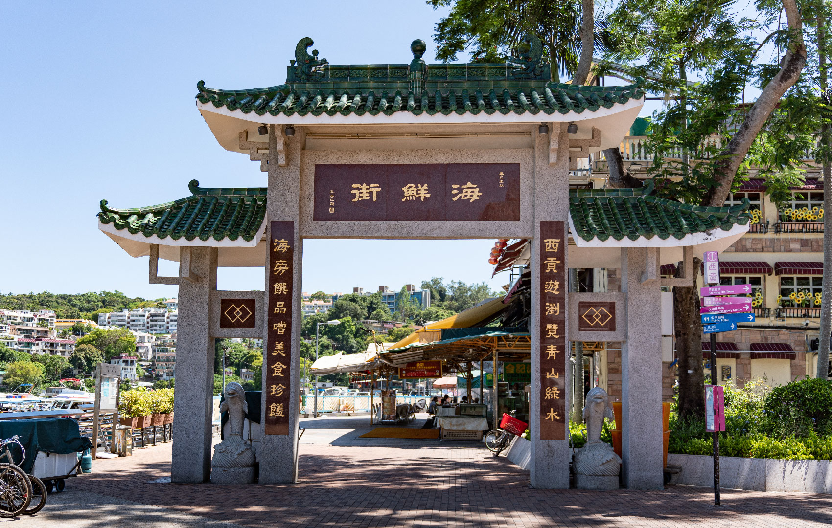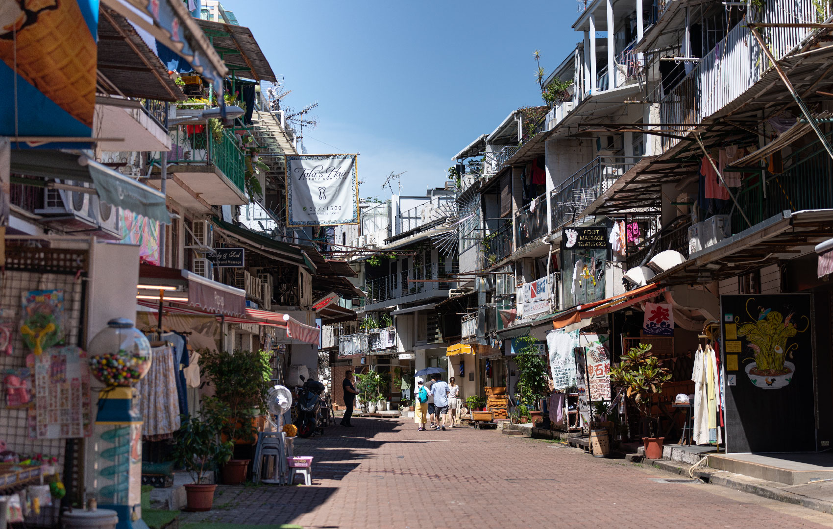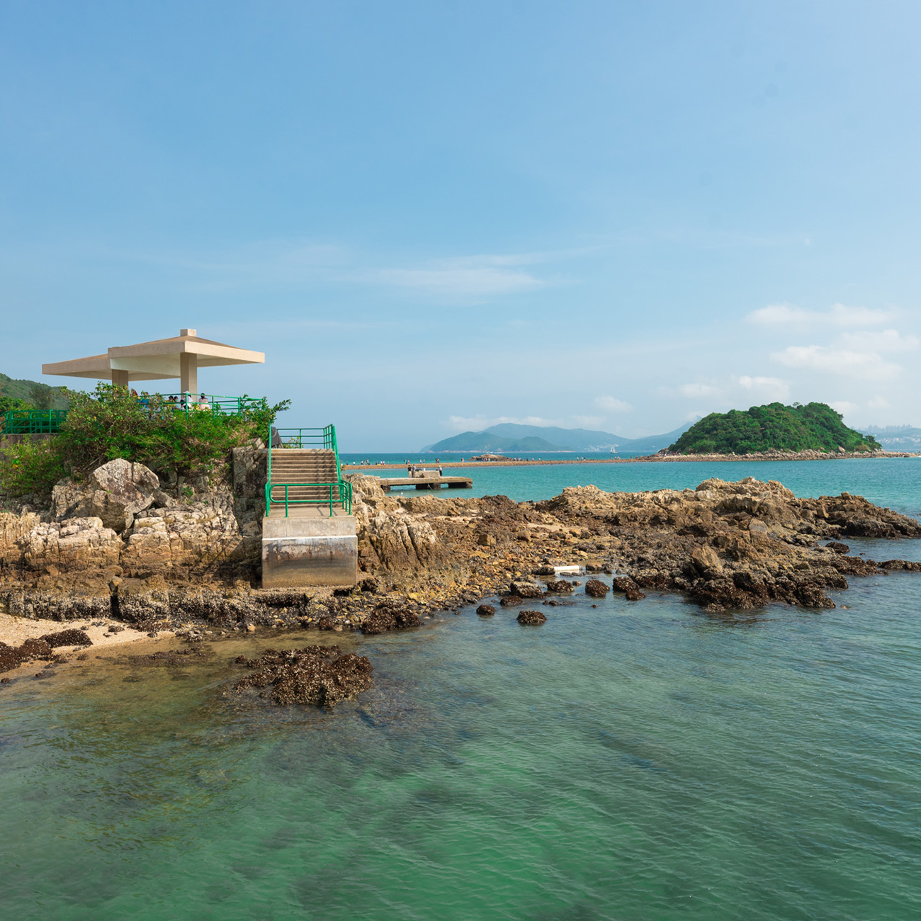
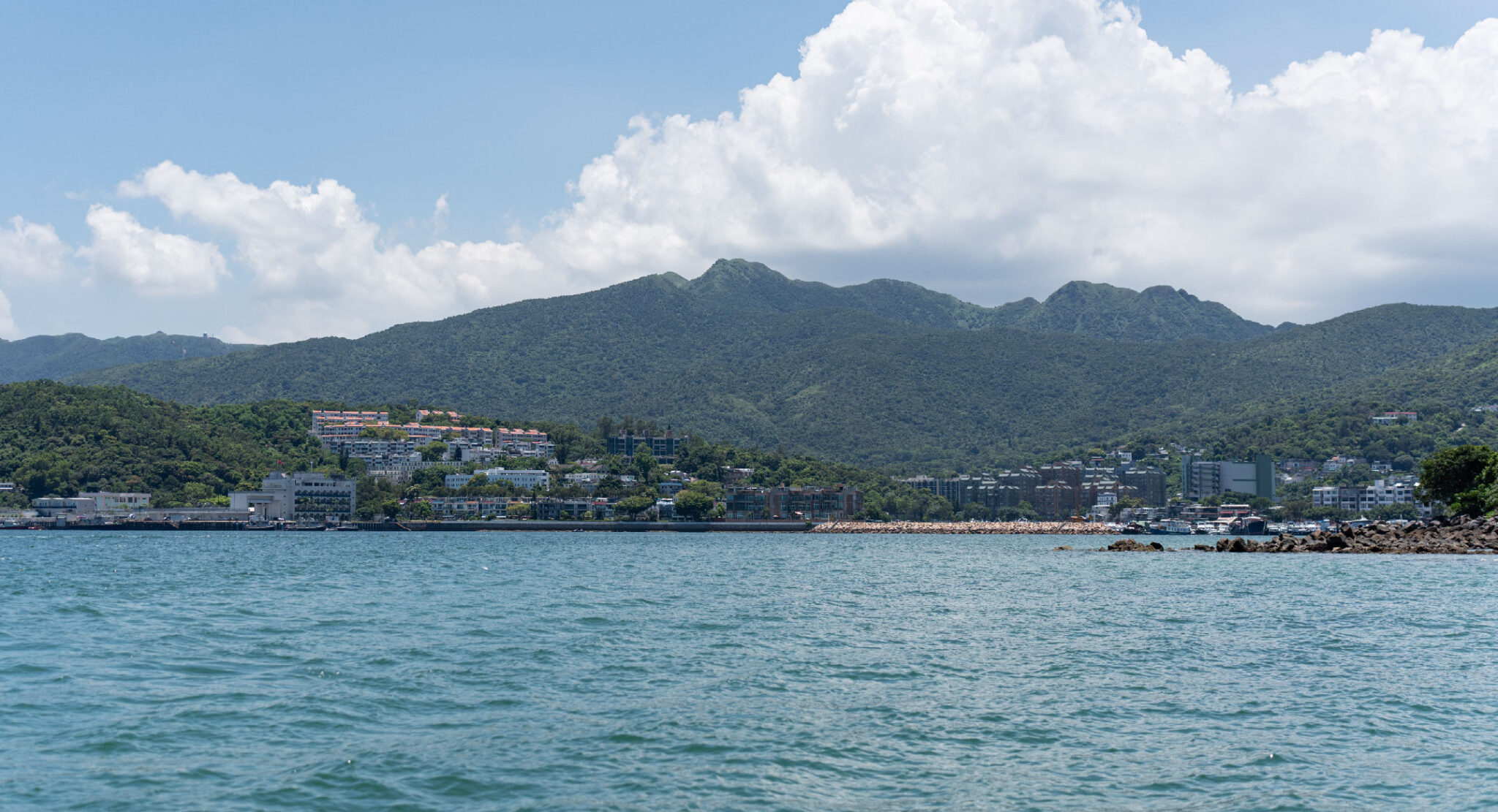

The second-largest area in Hong Kong in terms of landmass, Sai Kung is dubbed the ‘back garden of Hong Kong’, known for its fishing villages, beautiful scenery, hiking trails, beaches and islands, geological formations and low-key lifestyle. In summer, expect to see groups gathered at the pier waiting to board boats for a quintessential Hong Kong experience — a junk trip.
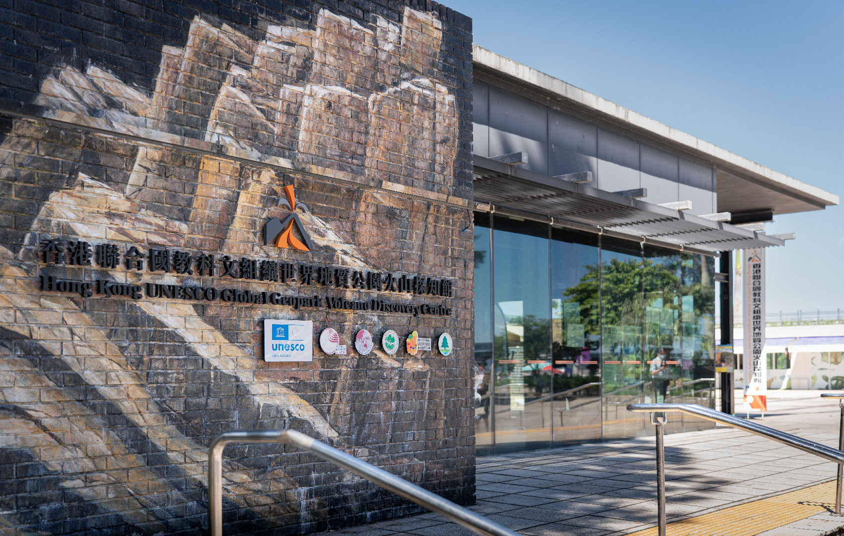
To truly know Sai Kung, however, you need to get out of its urban zone and hit its nature trails. Most of the area is covered in country parks, from the Hong Kong UNESCO Global Geopark to Sai Kung Country Park East and West. These verdant green spaces are a major reason why Sai Kung has remained unspoiled by urbanisation — the parks are reserved for nature conservation. There’s also Hoi Ha Wan Marine Park, which is protected by law, and the start of the renowned 100-kilometre MacLehose Trail is found in Sai Kung too.
Just as its seafood restaurants serve up a variety of dishes that’ll satisfy all seafood lovers, the hiking in the area is accessible to beginners and experts alike: stroll along the High Island Reservoir, or attempt the towering Sharp Peak. And at only 30 to 60 minutes away from the city centre via bus or taxi, spending a day or two discovering one of the region’s most striking green areas is much easier than you think.
(Content on this page is extracted from Hong Kong UNESCO Global Geopark and Hong Kong Tourism Board website)
The online registration will be open from 2 Nov (Wed) 10am on a fortnightly basis, for the coming 2-4 weeks upon the system’s update. The registration schedule is as follows:
| Date Open for Registration | Newly Open Dates of the Programmes/Tours* |
|---|---|
| 2 Nov (Wed) | 16 Nov - 30 Nov |
| 16 Nov (Wed) | 1 Dec - 14 Dec |
| 30 Nov (Wed) | 15 Dec - 28 Dec |
| 14 Dec (Wed) | 29 Dec - 16 Jan |