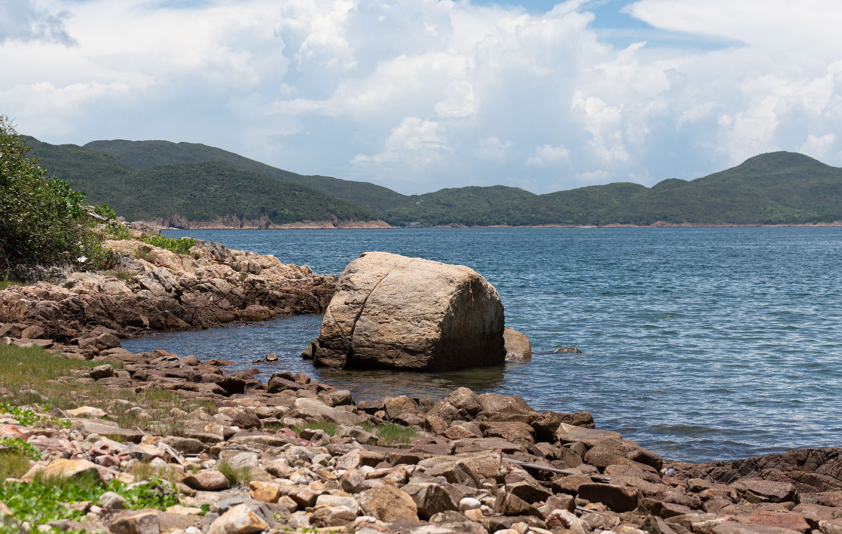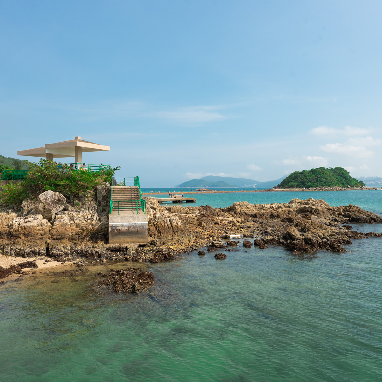

Kau Sai Chau is the biggest island in Sai Kung and home to the only public golf course in Hong Kong, which came into service in mid-December 1995.
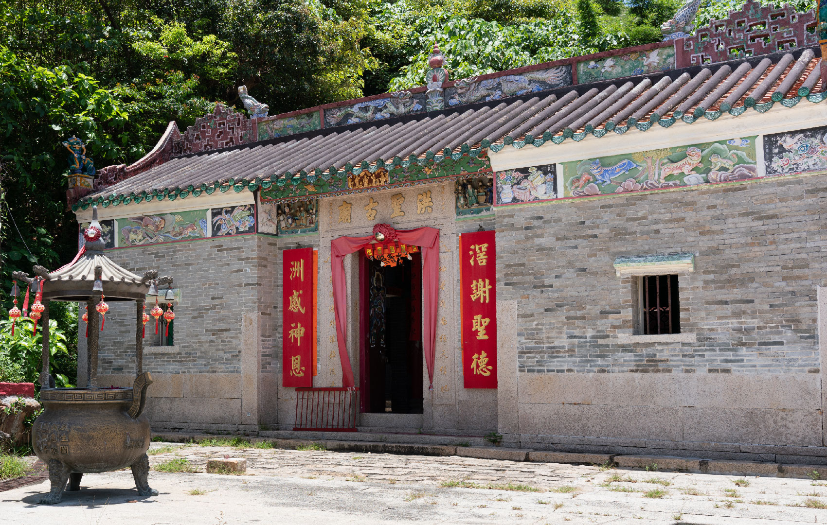
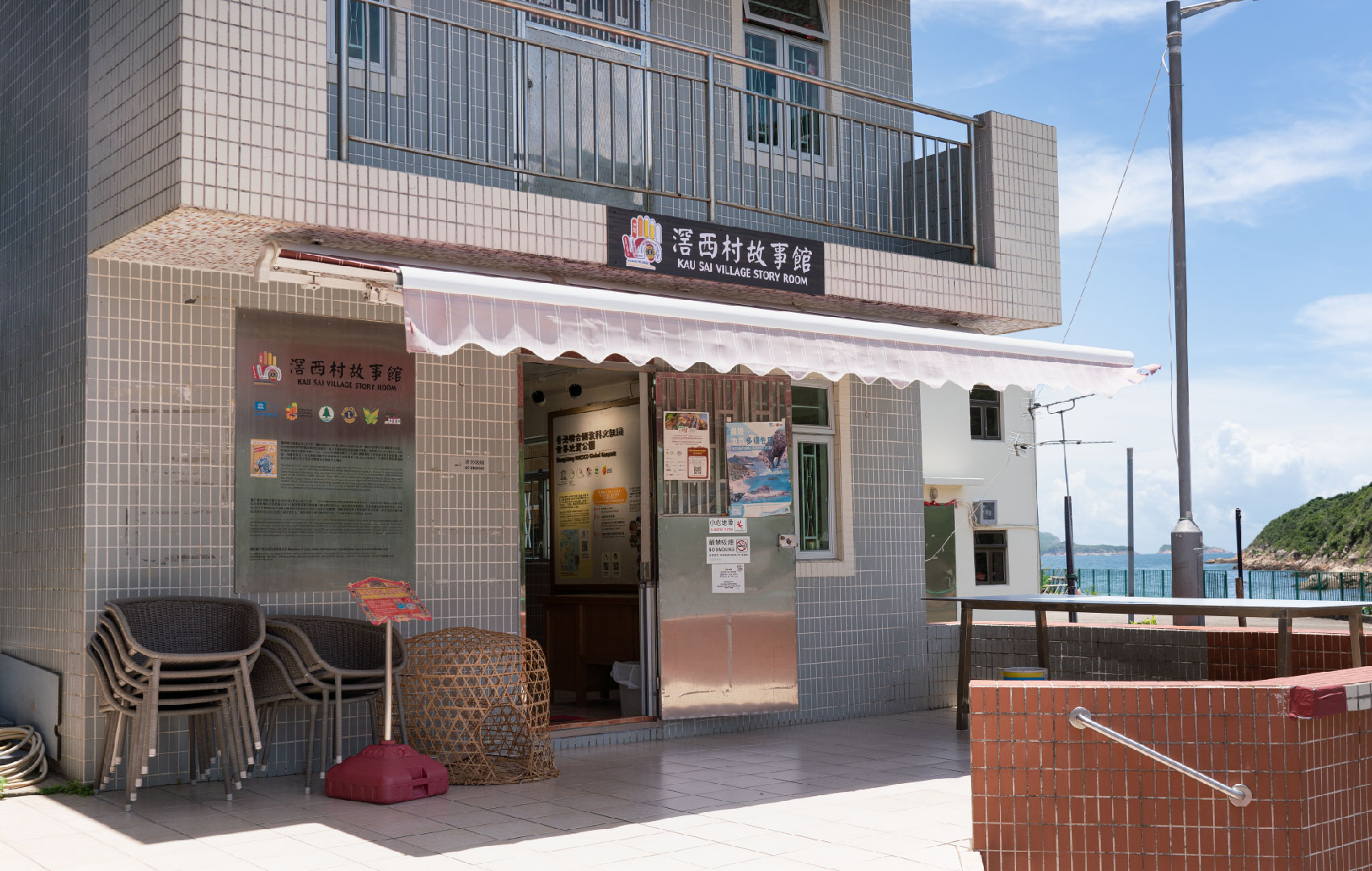
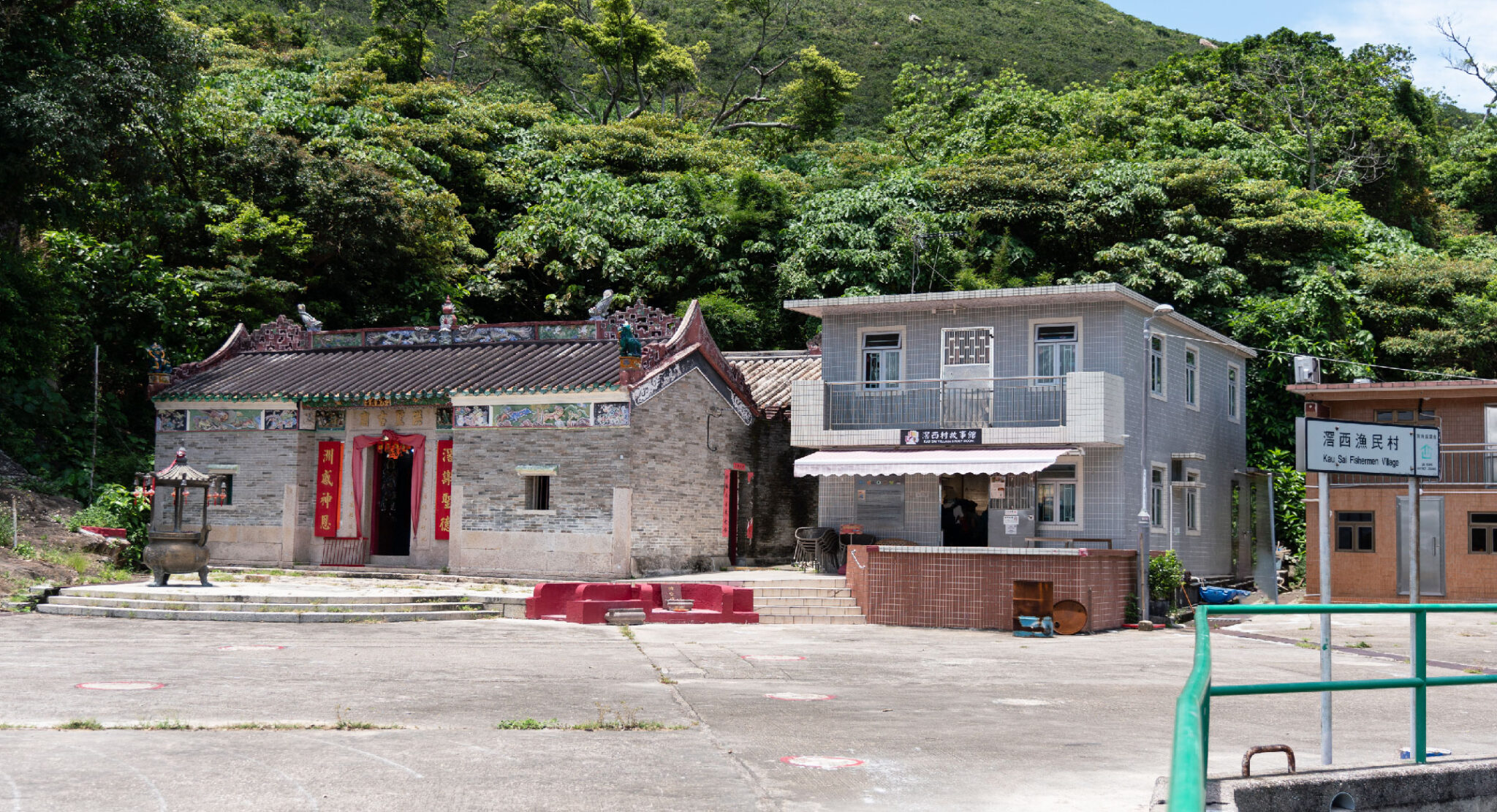
Kau Sai Village, at the south end of the island, was once a Hakka settlement. In 1952, the colonial government set up the Port Shelter Firing Range, and most parts of Kau Sai Chau and nearby Jin Island were firing targets. To avoid firing-related accidents and injuries, the Kau Sai Village Hakka residents were relocated to the new Kau Sai San Tsuen in Pak Sha Wan, Sai Kung Peninsula.
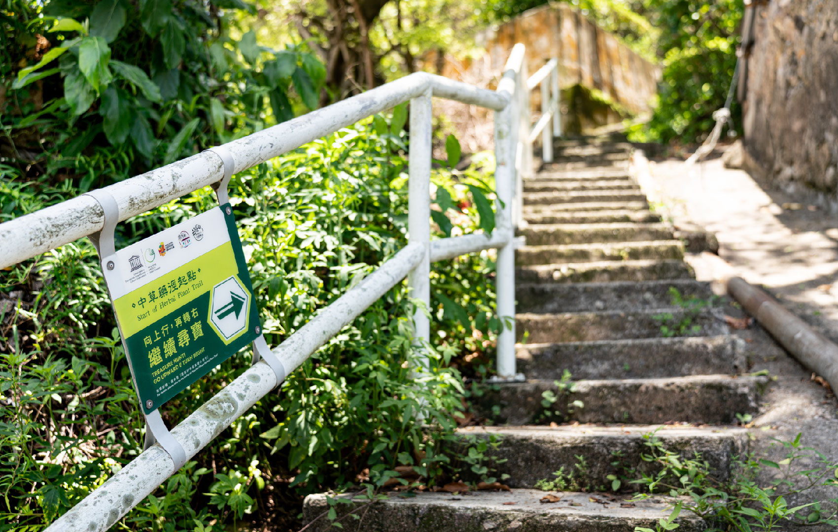
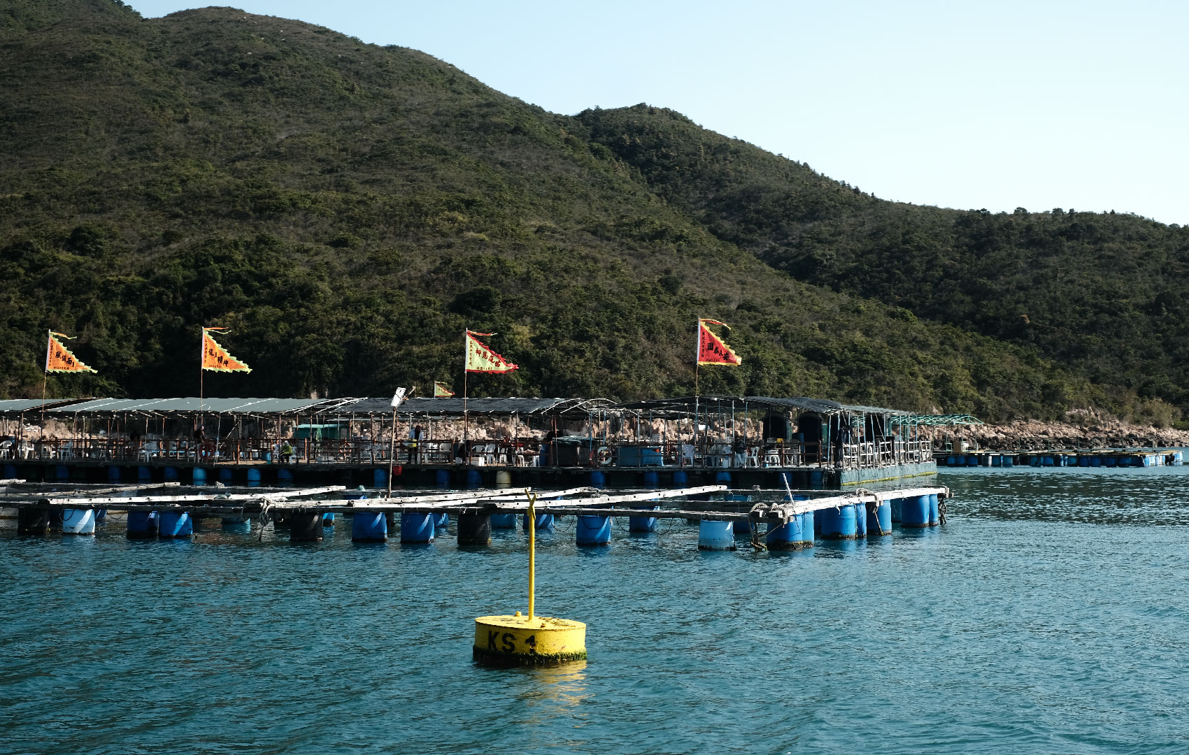
In those days, fishermen operating in waters around Kau Sai Chau lived on boats, and the Kau Sai Chau anchorage was their base. They berthed their vessels there to take a break or maintain their fishing boats and equipment. Back then, fishermen did not have the opportunity to receive education, and literacy levels were low. They continued to fish and live in the firing range area, exposing themselves to high risks.
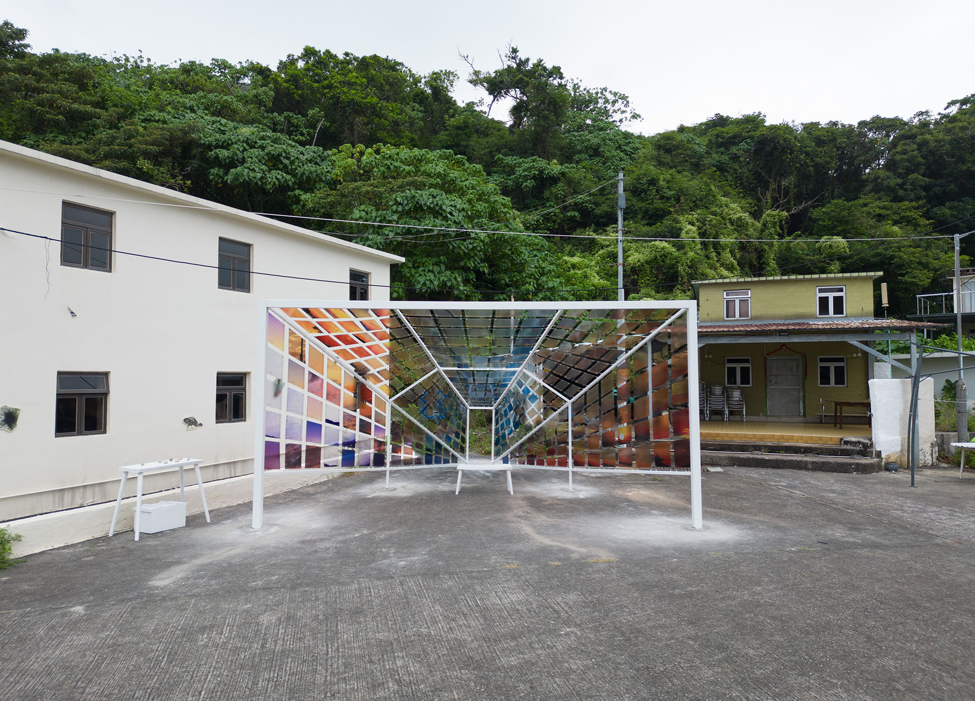
Barbara Ward, a British anthropologist, conducted research on the lifestyle and culture of fishermen in Hong Kong. She chose Kau Sai Chau for her research subject and used the vacant Kau Sai Village as a base and temporary dwelling. She helped Kau Sai fishermen communicate with the colonial government and lobbied to have the firing range relocated to Basalt Island. On behalf of the fishing community, she also applied for a government land licence to set up homes in the Kau Sai Village land lot. The hamlet was renamed Kau Sai Fishermen’s Village, and 300 to 400 fishermen settled there in the 1950s. Because of economic transformation and improved living standards over the decades, most of the villagers moved to the city; only about a dozen elderly residents continue to live in Kau Sai Village today.
(Content on this page is extracted from Hong Kong UNESCO Global Geopark and Hong Kong Tourism Board website)
The online registration will be open from 2 Nov (Wed) 10am on a fortnightly basis, for the coming 2-4 weeks upon the system’s update. The registration schedule is as follows:
| Date Open for Registration | Newly Open Dates of the Programmes/Tours* |
|---|---|
| 2 Nov (Wed) | 16 Nov - 30 Nov |
| 16 Nov (Wed) | 1 Dec - 14 Dec |
| 30 Nov (Wed) | 15 Dec - 28 Dec |
| 14 Dec (Wed) | 29 Dec - 16 Jan |